If you’ve been shopping for a robot mower lately, you’ve probably noticed that the old-school approach — burying a boundary wire around your entire yard — is disappearing fast. The new generation of “wire-free” mowers navigates without any buried infrastructure, using one of three core technologies: RTK GPS (a high-precision satellite positioning system that can locate itself to within a couple of centimeters), LiDAR (a rotating laser sensor that builds a 3D map of surrounding obstacles, the same family of sensors used in self-driving car research), or Vision AI (camera-based systems that use machine learning to recognize the lawn’s edge, objects, and features in real time). Each approach has a genuinely different set of strengths, failure modes, and hidden costs — and the wrong choice for your specific yard will cost you time, frustration, and often a return shipping label. This guide walks through the real trade-offs so you can make a confident, eyes-open decision before you buy.
How Each Navigation Technology Actually Works — and Where It Breaks
Understanding failure modes is more useful than understanding success modes, because the marketing brochure only shows the success case.
RTK GPS: Centimeter Accuracy With a Sky-View Dependency
RTK GPS works by pairing the mower’s onboard GPS receiver with a fixed reference station — typically a small antenna you mount on your roof, fence post, or a pole with clear sky visibility. That base station constantly corrects for atmospheric GPS drift, giving the mower centimeter-level positional accuracy. In ideal conditions, RTK is genuinely impressive: the mower knows exactly where it is on your property and can repeat precise mowing lanes.
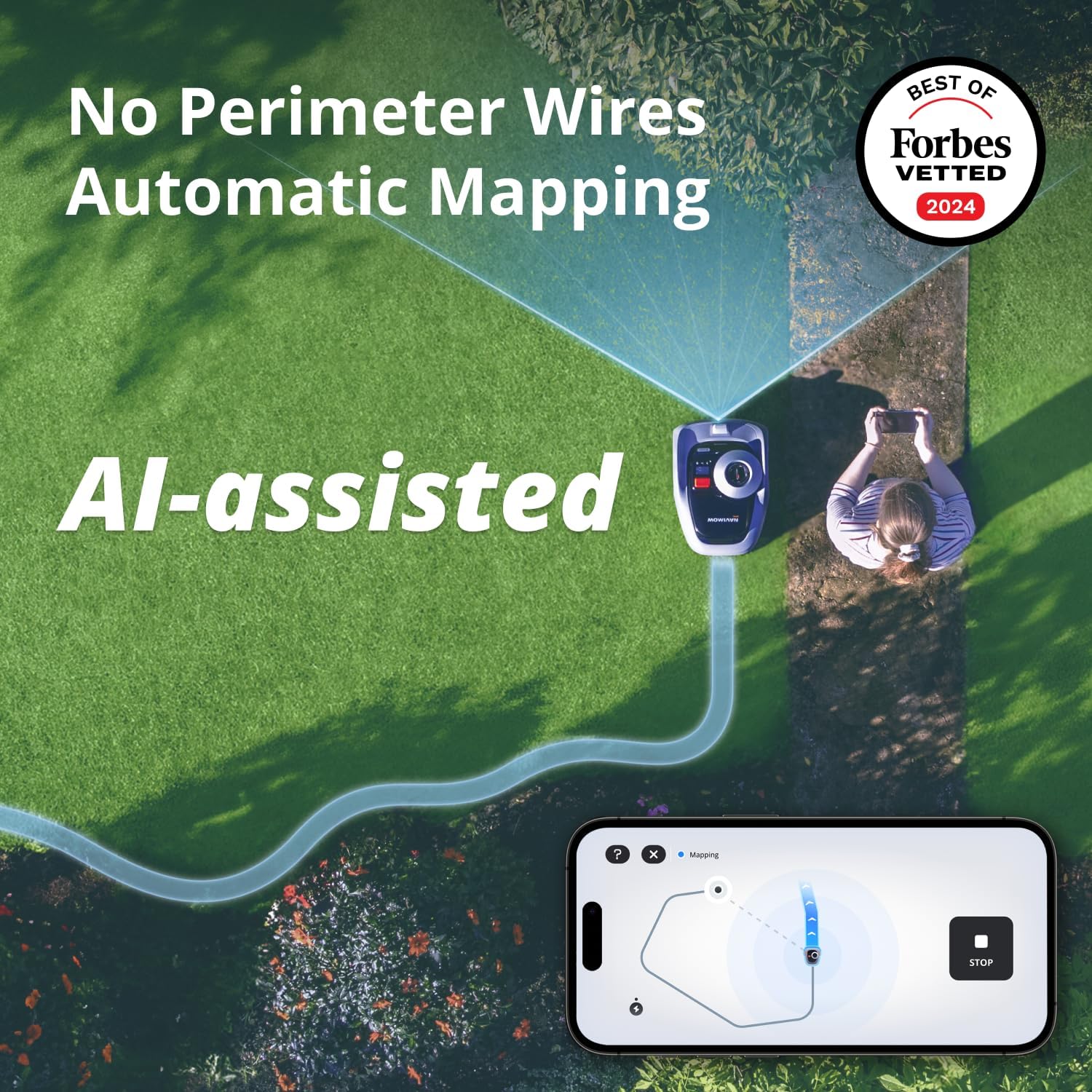
The Segway Navimow i105N has generated a strong positive community response when setup goes right. Owners have surfaced a useful cost-saving tip: a standard ceiling-mount bracket with a 5/8-inch stud does the same job as the $50 official antenna mounting kit. That kind of workaround signals an active owner base that has worked through early friction and found real solutions.
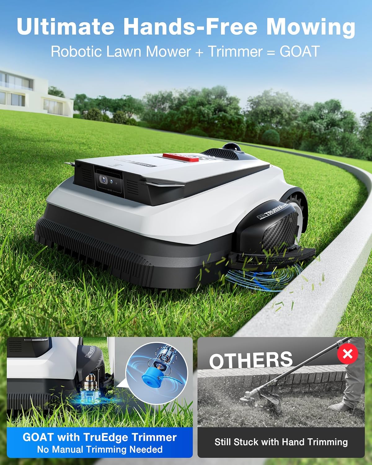
The failure mode for RTK is sky-view dependency. The base antenna needs an unobstructed view of the sky. Heavy tree canopy, a yard that sits in a valley, or nearby tall structures can degrade the signal enough to cause erratic behavior or abort mowing sessions entirely. The Ecovacs Goat O1000 RTK illustrates this vividly: reviewers report a “nearly flawless” mapping process — and then a wheel-failure error code on the very first mow attempt. When a system this dependent on precise initialization hits an unexpected condition, it can fail hard and with little diagnostic clarity. IEEE Spectrum’s 2024 coverage of outdoor robot navigation (“How Robot Lawn Mowers Are Finding Their Way Without Wires”) documents RTK positional accuracy degrading from its rated ±1–2 cm under clear sky to ±30 cm or more under heavy canopy — a gap that matters enormously at property boundaries.
ECOVACS
$1,499.99
In stock on Amazon
Check price on AmazonLiDAR: Self-Contained Mapping With Terrain Physics Still Applying
LiDAR navigation doesn’t rely on satellites at all. The sensor spins and fires thousands of laser pulses per second, building a real-time point-cloud map of the mower’s immediate surroundings. Because it’s self-contained, it works fine under tree canopy and in shaded yards where RTK struggles. Consumer mower LiDAR units are typically rated for an 8–15 m effective obstacle-sensing radius, according to manufacturer specifications reviewed in Robotics and Automation News’s 2024 comparison piece “LiDAR vs. Camera-Based Navigation for Outdoor Robots.”
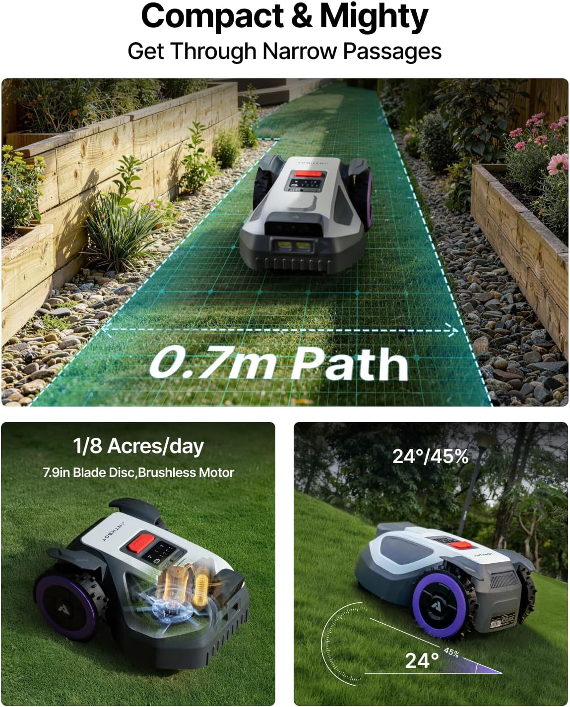
The ANTHBOT M5 has earned specific praise from owners for its slope-handling capability — one owner explicitly notes they returned a prior mower for failing on the same terrain and switched to the M5 specifically for this reason. That’s a meaningful real-world signal. The community has also documented a specific fix for nose-digging into divots, complete with photos, which tells you both that the problem is real and that the owner base is actively compensating for product limitations rather than abandoning the platform.
The critical LiDAR failure mode, especially relevant for Southeastern US buyers, is loose terrain contamination. Owners testing LiDAR PRO models in Florida consistently surface a problem no spec sheet addresses: exposed sand and mulch cause stuck events regardless of how sophisticated the navigation is. The sensor can navigate perfectly, but the wheels are still subject to the physics of soft ground. Navigation technology does not override terrain physics.
Segway
$799.00
In stock on Amazon
Check price on AmazonVision AI: The Widest Gap Between Promise and Current Delivery
Vision AI is the newest approach and the one with the widest gap between promise and delivery in the current generation of consumer products. Camera-based systems train on image datasets to recognize lawn edges, obstacles, and navigation cues. The theory is compelling: no antenna to mount, no satellite dependency, natural boundary detection from visual contrast. Wired’s 2025 feature “The Messy Reality of Autonomous Lawn Mowers” makes the point plainly: the software maturity of Vision AI platforms lags behind their hardware quality — a gap that shows up repeatedly in owner post-purchase accounts.
The WORX Landroid Vision is the clearest case study in what Vision AI looks like when the hardware is solid but the software isn’t ready. A reviewer who explicitly chose it over the Segway Navimow specifically for its edge-trimming offset tool praises the hardware and calls the software “an absolute joke” before returning it. That’s a textbook example of a feature gap between spec and delivery. Vision AI platforms have also shown the least consistent stuck-alert behavior based on aggregated owner reports through early 2026 — alerts that RTK and LiDAR systems handle more reliably via GPS-coordinate logging and push notifications respectively.
This category is worth watching as it matures, but based on current owner reports, it is not the choice for a buyer who needs reliable autonomous operation out of the box.
ANTHBOT
$578.99
In stock on Amazon
Check price on AmazonThe Numbers That Actually Matter When You’re Comparing
When evaluating these systems, the spec sheet numbers that matter most aren’t the ones manufacturers lead with.
Positional accuracy under real conditions: RTK is rated at ±1–2 cm under clear sky. IEEE Spectrum’s 2024 article “How Robot Lawn Mowers Are Finding Their Way Without Wires” documents degradation to ±30+ cm under heavy canopy. LiDAR accuracy is environment-dependent and doesn’t degrade with sky coverage. Vision AI boundary accuracy varies with lighting conditions and lawn-edge contrast.
Setup time investment: Typical RTK antenna setup time cited by owners runs 30–90 minutes depending on property configuration. LiDAR systems eliminate the antenna but often require longer initial mapping runs over the full mowing area. Vision AI systems typically promise the fastest setup, but based on current owner reports, the time saved on setup is frequently spent troubleshooting software behavior in the days that follow.
Total cost of ownership: The Robot Report’s 2025 analysis “RTK GPS in Consumer Robotics: Accuracy, Cost, and Real-World Limits” notes that the underlying RTK technology is mature — it has been used in precision agriculture for over a decade — but that consumer mower integration quality varies significantly between manufacturers. The practical implication: RTK’s additional cost over LiDAR isn’t just the unit price premium; it includes the antenna mounting hardware, any professional installation if your property doesn’t have an obvious high-visibility mount point, and potential signal troubleshooting time if your yard has marginal sky exposure.
Firmware update cadence: Most current systems push updates OTA (over the air) through the manufacturer’s smartphone app. Across reviewed models, update intervals range from monthly to quarterly. Wired’s 2025 piece “The Messy Reality of Autonomous Lawn Mowers” makes the point worth underlining: you’re not buying a product, you’re buying into a software update relationship. The mower you own in month 12 may behave differently than the one you unboxed. That cuts both ways — manufacturers do fix bugs and improve navigation through updates — but a bad update can introduce new problems.
Yard Conditions That No Navigation Technology Fixes
This is the section most buyers skip, and it’s where post-purchase regret lives. Navigation technology governs where the mower thinks it is and where it tries to go. It doesn’t govern whether the mower can physically execute that plan.
Slopes are the most commonly cited limitation. Most wire-free robot mowers are rated for slopes up to 35–45 degrees depending on model. Rating and reality diverge on wet grass, and an ANTHBOT M5 owner praising its slope handling is explicitly comparing it to a mower that failed on the same terrain — meaning slope performance is genuinely differentiated across models, not just a spec-sheet checkbox.
Curbs and ditches create a specific problem: the mower’s boundary map ends at the edge of your property, but if there’s a physical drop-off at that boundary, the mower will stop before reaching the actual grass edge. Owners with raised-curb properties consistently report a strip of uncut grass at the curb — regardless of navigation type. The mower isn’t malfunctioning; it’s avoiding a fall. Budget for manual edge trimming at drop-off boundaries regardless of which system you choose.
Sand and mulch act like a navigation-agnostic stuck-event generator. As documented by owners testing LiDAR PRO models in sandy-soil regions of Florida, the sensor suite can function perfectly while the drivetrain bogs down in loose terrain. If your yard has significant mulched garden beds integrated into the mowing area, or sandy soil that shifts after rain, you’re adding manual recovery events to your ownership experience regardless of navigation technology.
Divots and ground irregularities are the ANTHBOT community’s documented challenge. The nose-digging behavior in divots is a ground-clearance and approach-angle problem, not a navigation problem. The community-documented fix — adjusting approach angles through the app’s zone configuration — is a workaround, not a solution. Know that going in.
Firmware, Stuck Alerts, and the Ownership Experience You’re Actually Buying
Updates are delivered OTA through the manufacturer’s app. Bricking from a failed update is uncommon but documented in owner communities — the highest risk is a power interruption mid-update. Keep the mower docked and connected during updates. Most manufacturers offer recovery modes, but the process varies and isn’t always well-documented in the quick-start guide.
Stuck alerts are handled differently across platforms. RTK-based systems like the Navimow typically send push notifications and log stuck events with GPS coordinates, which is useful for identifying recurring problem areas in your yard. LiDAR systems vary — the ANTHBOT M5 community documentation suggests stuck events are logged but that alert immediacy depends on your connectivity setup. Vision AI platforms are the least mature here based on current owner reporting, a point consistent with Robotics and Automation News’s 2024 comparison “LiDAR vs. Camera-Based Navigation for Outdoor Robots,” which identified software readiness as the primary differentiator between sensor categories in this product class.
The practical implication: if your yard is attended — you’re home, phone nearby — most current systems give you enough alert capability. If you’re running the mower on a schedule while away, test your specific model’s alert reliability during the first few weeks before trusting it to run unsupervised.
Frequently Asked Questions
Where exactly do I need to mount the RTK antenna, and does it need line of sight to the sky? Yes — RTK antennas require an unobstructed view of the sky to maintain accuracy. Rooftop or high fence-post mounting is standard. A ceiling mount with a 5/8-inch stud (a community-documented tip for Navimow owners) works well and avoids the cost of the official mounting kit. Avoid locations with heavy tree overhang directly above the antenna.
Will any of these mowers work if my yard has a curb or ditch at one edge? All three navigation types will stop before a drop-off, which means a strip of grass along curbed boundaries typically goes uncut. This is a safety feature, not a malfunction. Budget for manual edge trimming at drop-off boundaries regardless of which system you choose.
What happens when the mower gets stuck — does it alert me, or does it just sit there? Most current RTK and LiDAR models push smartphone alerts when a stuck event occurs. Alert reliability depends on your Wi-Fi or cellular coverage at the mower’s location. Vision AI platforms have shown the least consistent stuck-alert behavior based on owner reports through early 2026. Test this actively during your first two weeks of ownership.
How do firmware updates get delivered and can a bad update brick the mower? Updates are delivered OTA through the manufacturer’s app. Bricking is uncommon but documented — the highest risk is a power interruption mid-update. Most manufacturers offer recovery modes, but recovery procedures vary and are not always clearly documented in the quick-start guide.
Is there a meaningful difference between single-LiDAR and dual-LiDAR navigation in practice? Dual-LiDAR setups provide better obstacle detection in low-light conditions and reduce blind spots on complex-shaped properties. For a simple rectangular yard, the practical difference is small. For yards with many landscape features, irregular borders, or evening mowing schedules, dual-LiDAR shows a real advantage in fewer stuck events and more complete coverage.
What yard conditions will cause problems regardless of navigation technology? Sand and loose mulch cause stuck events independent of navigation quality, as documented by owners of LiDAR PRO models in sandy-soil regions. Divots cause nose-digging behavior across multiple platforms. Wet slopes push every drivetrain harder than dry-condition specs suggest. Navigation technology governs positioning accuracy — it does not override terrain physics.
The Decision Rule
Here’s the if/then framework based on everything above:
- If your yard is open, has good sky exposure, and you want the most repeatable lane-following accuracy → RTK is your platform. Accept the antenna setup investment and test your sky-view quality before committing.
- If you have heavy tree canopy, a complex-shaped yard, or significant slope variation → LiDAR is the better fit. Expect to spend time on initial mapping and accept that loose terrain is still a physical problem no sensor array solves.
- If you’re genuinely early-adopter comfortable and willing to absorb software immaturity for the promise of no-infrastructure setup → Vision AI is worth watching, but based on 2025–2026 owner reports and Wired’s 2025 assessment of the category in “The Messy Reality of Autonomous Lawn Mowers,” it is not the choice for a buyer who needs reliable autonomous operation out of the box.
The best navigation technology is the one matched to your actual yard’s constraints — not the one with the most impressive spec sheet. Do the terrain audit before you do the feature comparison. That’s the order that saves you a return label.